The following maps were produced by DME using information about schools and their associated facilities in consultation with the DC Public Charter School Board (DC PCSB), DC Public Schools (DCPS), and the Department of General Services (DGS).
- Search by school name
- Filter by grades offered at the facility, wards, and/or sector
- Zoom in to view more street details
- Hover over facility symbols on the map to view additional details
- Scroll to bottom of map to download underlying data (not available for SY2015-16 or SY2016-17).
DCPS and Public Charter School Facilities, SY2025-26
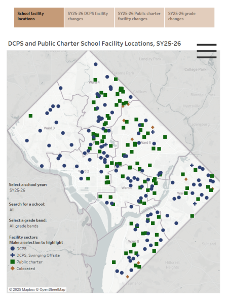
Click here to interact with a map of
facilities for SY2025-26.
DCPS and Public Charter School Facilities, SY2024-25
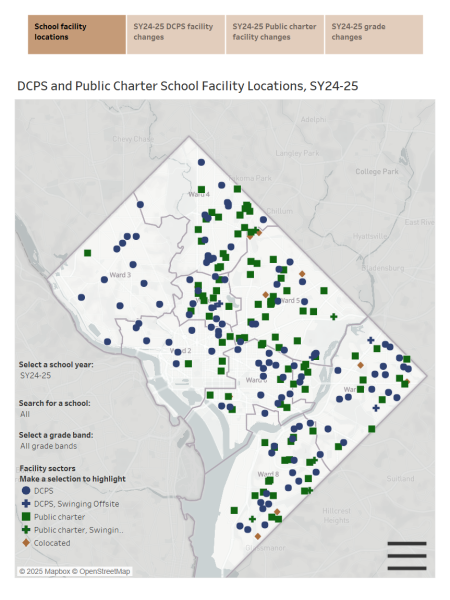
Click here to interact with a map of
facilities for SY2024-25.
DCPS and Public Charter School Facilities, SY2023-24
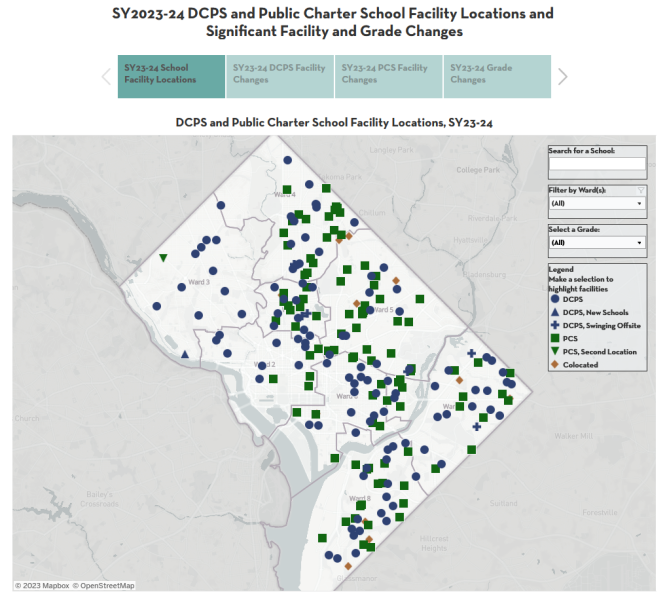
Click here to interact with a map of
facilities for SY2023-24.
DCPS and Public Charter School Facilities, SY2022-23
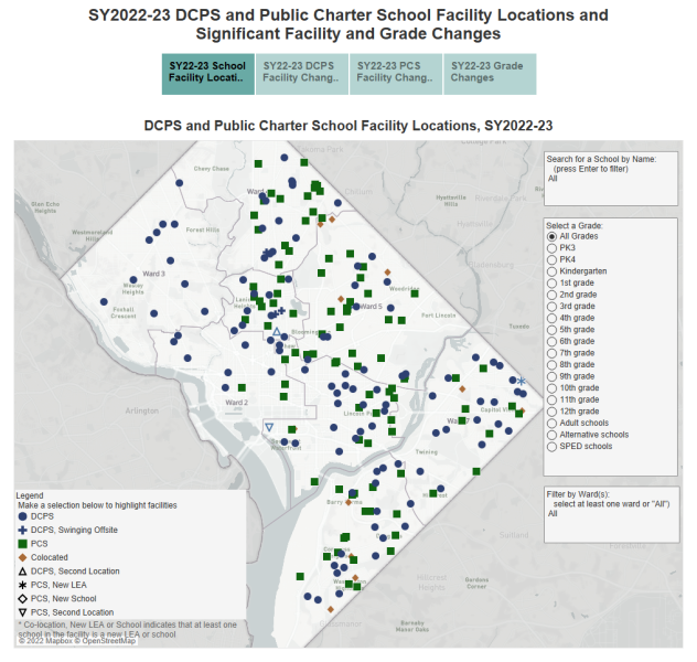
Click here to interact with a map of
facilities for SY2022-23.
DCPS and Public Charter School Facilities, SY2021-22
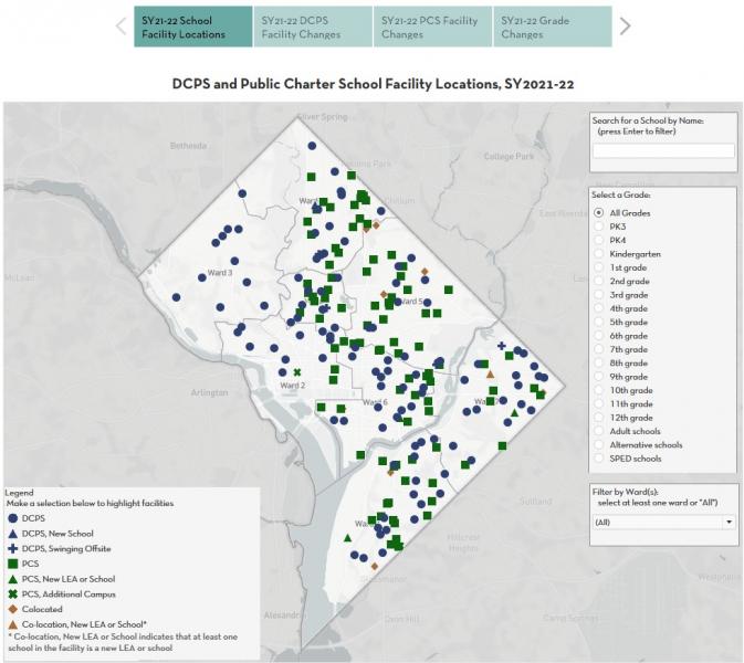
Click here to interact with a map of
facilities for SY2021-22.
DCPS and Public Charter School Facilities, SY2020-21
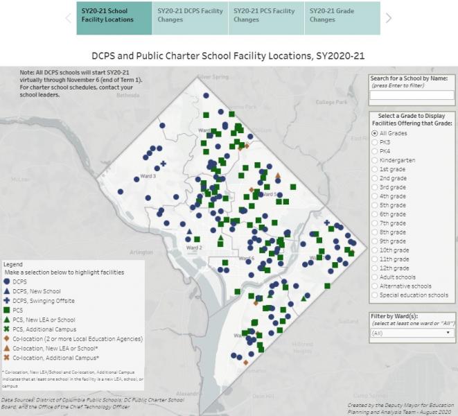
Click here to interact with a map of
facilities for SY2020-21.
DCPS and Public Charter School Facilities, SY2019-20
Click here to interact with a map of
facilities for SY2019-20.
DCPS and Public Charter School Facilities, SY2018-19
Click here to interact with a map of
facilities for SY2018-19.
DCPS and Public Charter School Facilities, SY2017-18
DCPS and Public Charter School Facilities, SY2016-17
DCPS and Public Charter School Facilities, SY2015-16


